This is the newest service that our company offers to those interested. The service consists in flying a zone with a drone, shooting with a high-resolution camera, while scanning the field surface. Later, using professional software for processing the collected data, 3D maps can be obtained that can be used in design phase or in analysis of location and management of earthworks volumes for the execution of various construction works.
In difficult-to-reach areas (uneven ground, marsh land, etc.) the use of aerial investigation can be the easiest and fastest method to gather information.
The service is addressed to both engineering and construction companies.
The maps obtained are of excellent quality and can be imported into software such as AutoCAD to generate plan views used in various projects.

Our drones can record high definition images of the area of interest, with lower prices than those made by helicopter or airplane.
Overflying the area of interest is fast and the investigation will provide all the necessary details reagarding the terrain surface.
The surveying overflight system that we can provide is a more effective alternative than classical surveying, much faster and with higher precision.
Using some of the newest surveying tools, we capture the information, process it and present it to the customer as a 3D topographic map in a format that suits our client's needs.
In the execution phase a construction passes through different stages until it is completed.
Periodic overflying with the drone and recording site images leads to improved decision-making management and to finding out exactly the physical stages of work at that time.
After the construction works has been completed, all the construction stages captured in images can be analyzed whenever is necessary.
In addition, the drone can be used to monitor the execution phases to ensure compliance with the execution details of the technical design.
For all situations where it is necessary to investigate the physical state of a building/construction, there is a particularly easy solution – the use of drones.
Besides the fact that we can obtain the best quality images from the most difficult areas in terms of access to the objective, the investigation time is substantially reduced.
Contractors (Entrepreneurs) who build new constructions or rehabilitate existing ones;
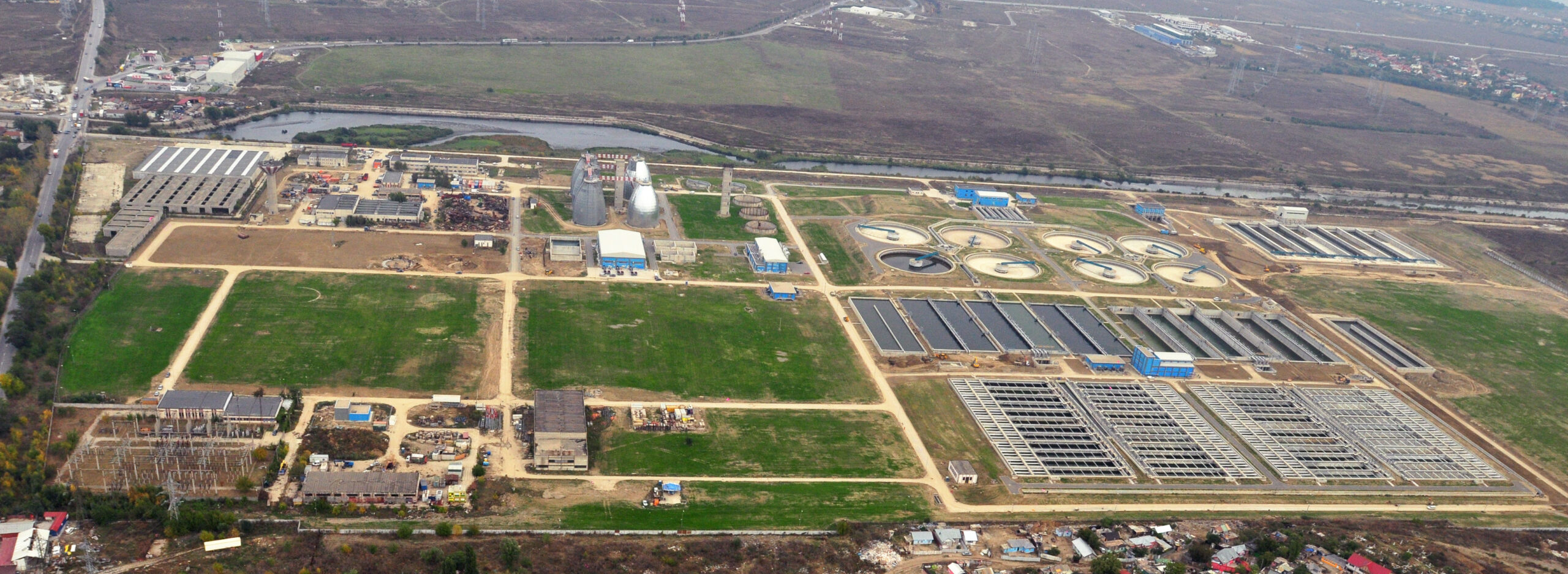
Operators of water supply services and/or sewerage services. These services usually include water treatment plants and/or wastewater treatment plants services;
Businesses carrying out activities to investigate the physical state/phase of some constructions and to monitor the various activities they are involved in;
Construction/installation Experts (engineers) that, based on the data recorded using drones, elaborates expert reports.